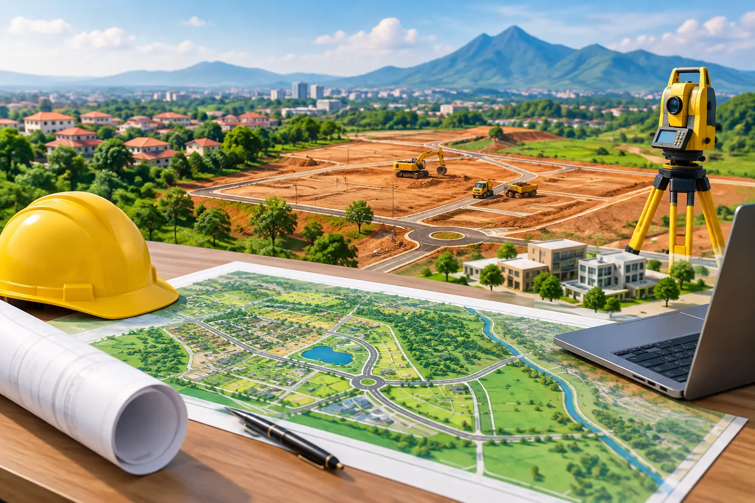
A promising plot can become an expensive problem long before the first block is laid. In land development Cameroon, the difference is usually decided at the beginning: whether the land can support the intended building, whether access and drainage have been considered, and whether the documents match the reality on site.
For a homeowner planning a villa, a diaspora investor acquiring land for apartments, or a business preparing a school or commercial building, development is not simply the purchase of a plot. It is the technical process of making that land ready, lawful, buildable, and financially predictable. A clear plan protects the investment and gives every professional on the project the same point of reference.
What land development means before construction
Land development is the work required to turn a parcel into a site that can safely accommodate its intended use. It may include site investigation, boundary confirmation, topographic surveying, drainage design, access planning, utility coordination, earthworks, permit documentation, and the preparation of architectural and engineering drawings.
The scope depends on the site. A relatively level urban plot in Yaoundé with road access and nearby utilities may require modest preparation. A sloping site, a large peri-urban parcel, or land intended for a multi-unit development may need retaining solutions, substantial drainage infrastructure, road improvements, and a more detailed engineering review.
This is why a plot should not be valued by size alone. Two parcels with the same area can have very different development costs. One may be ready for a foundation after basic clearing; the other may require cut-and-fill work, a retaining wall, or an access solution before construction can begin.
Start with land due diligence, not a building sketch
A beautiful concept cannot solve an ownership dispute or a boundary conflict. Before committing to a purchase or starting design, verify the legal and physical status of the property. The land certificate, seller identity, plot location, stated dimensions, and any encumbrances should be checked through the appropriate professional and administrative channels.
The physical site must also be verified. A surveyor can confirm the boundaries, identify discrepancies between documents and occupation on the ground, and establish levels across the plot. This matters because fences, informal markers, and verbal assurances do not replace an accurate survey.
For clients purchasing from abroad, this stage deserves particular attention. Site visits, geolocated photos, survey records, and a written review of the available documents create a clearer basis for decision-making. Remote investors should be cautious about authorizing construction based only on a phone video or a hand-drawn plot plan.
Due diligence does not guarantee that every administrative issue disappears. It does, however, expose risks early, when the decision to proceed, renegotiate, redesign, or choose another site is still manageable.
Match the land to the intended project
The best use of land is not always the most ambitious use. A parcel suitable for a family duplex may not be suitable for a five-story apartment building without major additional work. The intended building footprint, parking needs, setbacks, vehicle access, water management, and structural loads all influence what is realistic.
A commercial project may need room for deliveries, customer circulation, fire access, and future expansion. A school requires safe entry and exit arrangements, usable outdoor space, and a layout that supports supervision. Residential clients often underestimate the space needed for parking, septic infrastructure where applicable, water storage, service yards, and drainage routes.
An architect and engineer can test these requirements before a client spends heavily on detailed drawings. This early feasibility work is often far less costly than revising a completed design after discovering that the plot cannot accommodate it properly.
Land development in Cameroon requires a site-specific drainage plan
Heavy rainfall can quickly reveal weaknesses that dry-season site visits conceal. Water flowing from a higher neighboring property, a blocked roadside drain, or an undersized channel can erode soil, flood a compound, weaken paving, and affect foundations over time.
Drainage should therefore be planned as part of the development, not treated as a finishing item. The design needs to understand natural slopes, runoff paths, discharge points, and the relationship between the site and surrounding roads or properties. In many locations, the right response combines graded surfaces, channels, catch pits, appropriate drainage lines, and properly designed retaining elements.
Simply directing water toward a neighbor or the public road is not a durable solution. It can create disputes and may damage the development itself. The objective is controlled collection and discharge that works during intense rainfall, not only during a light shower.
Soil conditions also matter. Where the ground is loose, waterlogged, filled, or uneven, the foundation approach must be selected from evidence rather than assumption. A geotechnical assessment may be advisable for larger buildings, complex terrain, or sites with visible signs of instability. The additional upfront cost can prevent an unsuitable foundation design and far more serious corrective work later.
Design infrastructure before the building becomes fixed
Once a building plan is finalized, moving it to accommodate a driveway, drainage reserve, utility route, or septic system becomes frustrating and expensive. Strong land development coordinates the building with the infrastructure from the start.
This includes the entrance gate, internal circulation, parking, water storage, wastewater arrangements, electrical supply routes, external lighting, fencing, and landscaping. For an apartment project, it also means considering how tenants, visitors, waste collection, and maintenance teams will use the property after handover.
There are trade-offs. Maximizing the building footprint may produce more internal floor area, but it can leave inadequate circulation or drainage space. Reducing earthworks by following the natural terrain can lower initial costs, yet it may require a more carefully stepped architectural layout. There is no universal answer. The right choice reflects the site, the budget, the building use, and the owner’s long-term priorities.
Budget the site works separately from the building
Many construction budgets focus almost entirely on the visible building: concrete, blockwork, finishes, roofing, doors, and fixtures. Site development costs are then discovered after work begins. This is one of the most common sources of stalled projects and difficult compromises.
A disciplined budget should separately account for surveys, soil investigation where needed, clearing, demolition, earthworks, drainage, retaining works, access improvements, fencing, service connections, permit documentation, and professional supervision. The quantity survey should distinguish these items so the client can understand what is essential now, what can be phased, and what risks should not be deferred.
For example, decorative landscaping can sometimes wait until the building is complete. Proper drainage, foundation preparation, and safe access usually cannot. Cutting costs in these areas may create repairs that are far more disruptive than the initial work would have been.
A realistic contingency is also prudent, especially where site conditions are not fully known. Contingency is not a sign of poor planning. It is a controlled allowance for conditions that become clear only during excavation or site preparation.
Permits and coordinated technical documentation
Development approval and building-permit requirements should be addressed early with the relevant local authorities. Requirements can vary by location, project type, and the nature of the proposed works. Waiting until construction has started can lead to delays, redesign, or difficulty regularizing work that does not align with approved documentation.
Coordinated drawings are essential. The architectural layout should align with structural drawings, foundation details, drainage plans, electrical needs, and site levels. When each element is prepared in isolation, clashes appear on site: a drain crosses a driveway, a column conflicts with parking, or a septic location interferes with a planned extension.
At Landmark Consults, this coordination is approached as one accountable process, bringing architectural planning, engineering design, quantity surveying, permit documentation, and site supervision into the same project framework. That structure helps clients make decisions with clearer cost, quality, and construction implications.
Construction supervision protects the plan
Even a well-prepared development can lose quality if execution is left unchecked. Site supervision verifies that excavation follows the approved levels, reinforcement is placed as designed, concrete work is properly controlled, drainage slopes are maintained, and changes are documented before they become permanent.
Supervision is especially valuable when an owner is abroad or managing a business that limits time on site. It provides a professional record of progress, identifies concerns early, and helps keep contractors accountable to the drawings and specifications. It does not eliminate every construction challenge, but it reduces the chance that costly errors remain hidden until finishing work has begun.
Build confidence into the ground first
A completed building is only as dependable as the land preparation beneath and around it. Before choosing finishes or approving a façade, confirm the boundaries, understand the terrain, plan the water routes, test the project’s fit on the site, and establish a budget that includes the work people do not always see.
That early discipline gives your dream home, investment property, or institutional facility a stronger starting point - and gives every later decision a foundation worth building on.